Christchurch & Canterbury Spatial Auditing • 3-Day SLA • Save Up to 15 Hours per Project

Design with Certainty.

Automated 3D LiDAR bare-earth CAD contours, live Council 3-Waters overlays, and sub-centimeter drone surveys. Save up to 15 hours of design and consenting delays while mathematically eliminating subsurface utility liability before breaking ground.

⚡
Guaranteed 3-Day SLA
Skip the 3–6 week traditional surveyor waitlist. Concept design starts immediately.
⏱️
Up to 15 Hours Saved
Drag-and-drop NZTM2000 CAD DXF with pre-calculated Net Buildable Envelopes.
🛡️
Strict Liability Reduction
Council API reticulation & certified 3.0m avoidance buffers vs. manual GNSS guesswork.

Eliminate Site Surprises Before Drawing a Single Line.

Unmapped wastewater laterals, tree protection root zones, and council drainage setbacks cost architecture firms weeks of redesign and thousands in council variation fees.

1

Sub-Centimeter Drone Context

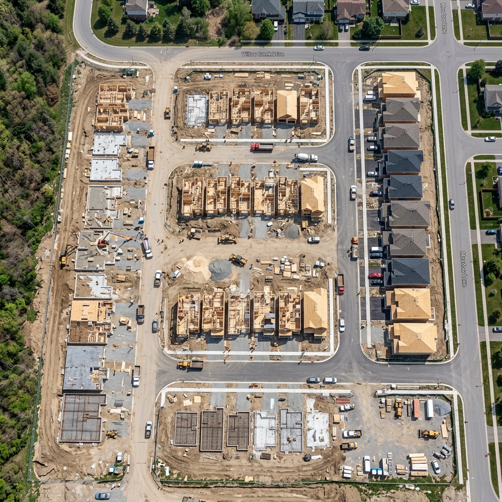
We fly the property to capture a high-resolution, georeferenced orthomosaic tied to true LINZ bare-earth datum. See exact fence lines, neighboring eaves, outbuildings, and mature vegetation before drafting.

2

Bare-Earth 3D Contours (DXF)

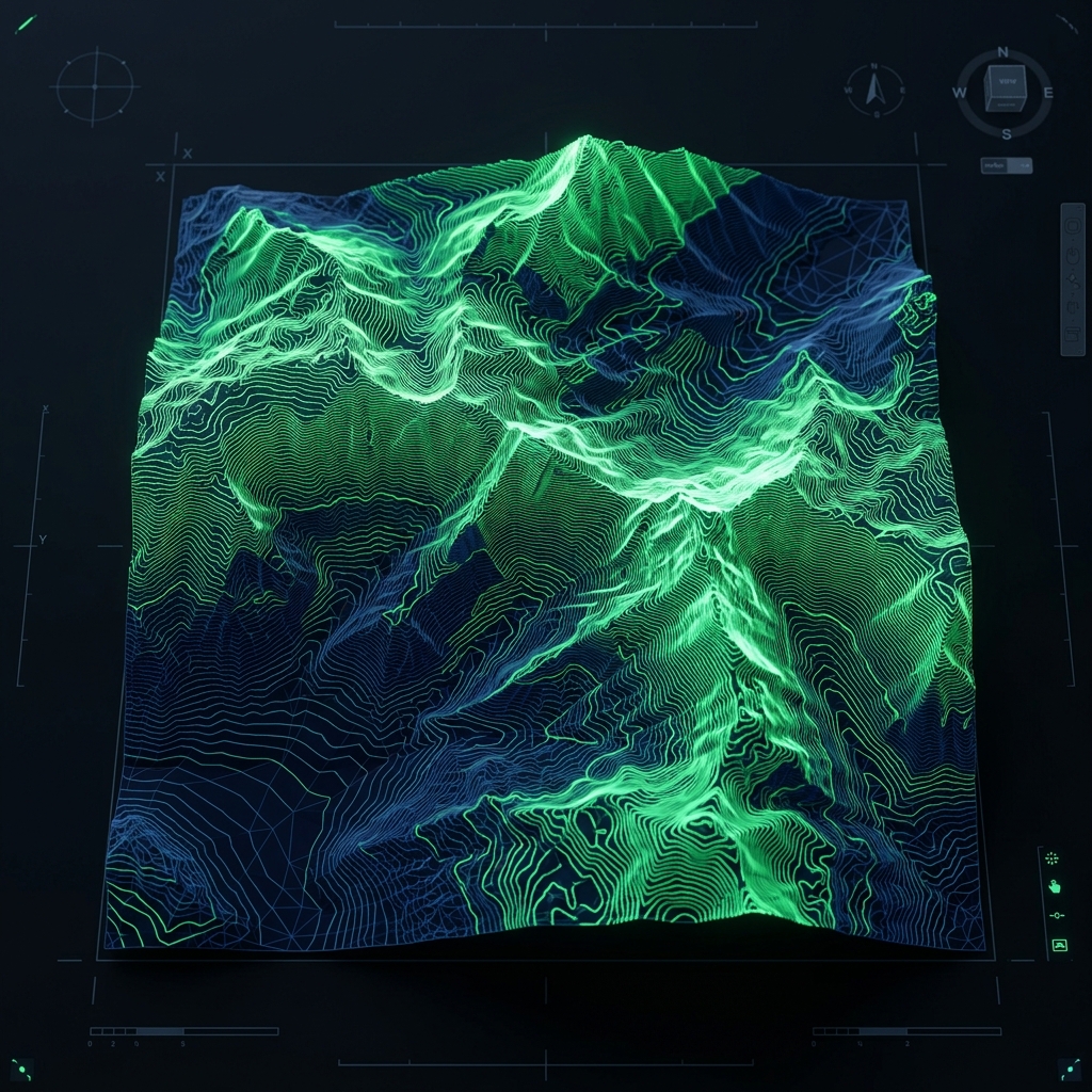
We extract authoritative LINZ LiDAR data to generate 0.25m bare-earth contours, mathematically filtering canopy and structures to expose true terrain slope and overland flow paths.

3

3-Waters Avoidance & Toby Isolation

Direct API harvesting of Council Water Supply, Wastewater, and Stormwater reticulation with mathematically certified 3.0m maintenance corridors and clear boundary Toby stopcock demarcation.

What You Get (Deliverables)

High-precision data, formatted exactly how design professionals need it.

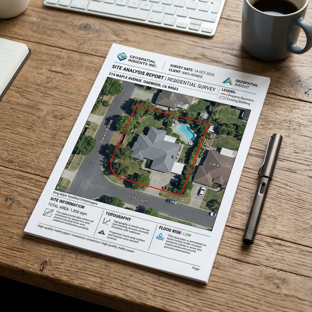
Pre-Design PDF Site Clearance Audit Report - GroundTruth Spatial NZ

8-Page De-Risking Audit (PDF)

Executive clearance dossier featuring Net Buildable Envelope calculation, Council Flood Management status, tree Root Protection Zones, and a contractor risk matrix.

0.25m Bare-Earth CAD Topographical Contours DXF Canterbury

Master CAD Package (DXF)

Single multi-layer CAD file with 0.25m bare-earth contours, legal LINZ boundaries, and 3-Waters setback corridors formatted for Revit, ArchiCAD, and Civil3D.

Sub-Centimeter Drone Orthomosaic Map Christchurch

High-Res Orthomosaic (TIF)

Sub-centimeter georeferenced 2D aerial map anchored to LINZ bare-earth elevation models, showing every existing fence, tree canopy, and ground fixture.

3D Recession Plane HIRB Clearance Point Cloud Envelope

3D Recession Plane (.LAZ)

Mathematically generated 3D Height-to-Boundary (HIRB) clearance envelope point cloud with automated LiDAR clash detection for rapid consent approval.

Multi-Industry Spatial Analytics

Tailored spatial solutions across multiple disciplines.

Civil Engineering & Earthworks

Automated Cut/Fill volumetric estimations and proposed Finished Floor Level (FFL) simulations. Calculate exact soil removal and fill requirements before breaking ground.

Solar Installation & PV Yield

3D astronomical ray-tracing simulates Winter Solstice solar insolation. Our heatmaps prove panel viability by detecting exact shadow paths cast by neighboring trees and roofs.

Hydrology & Urban Planning

D8 Flow Accumulation models predict exactly where overland surface water will pool and flow during extreme rainfall, providing critical data for resource consents.

Arboriculture & Landscaping

Automated LiDAR canopy segmentation isolates significant trees, calculating biomass volumes and mapping Root Protection Zones (RPZ) for council compliance.

Architecture & Compliance

Automated 3D Recession Plane (HIRB) modeling and vertical clearance clash detection. Instantly generate mathematical spatial proofs for Height-to-Boundary certificates without a 2-day manual survey.

Powered by Advanced Spatial Tech

We combine deep Geospatial and GIS expertise with advanced Photogrammetry technology to produce highly accurate spatial products tailored to meet the exact needs of property developers and engineers. We don't just fly drones; we mathematically fuse multiple authoritative data streams to ensure absolute spatial accuracy.

  • ➔
    LINZ Data Service Integration Direct API hooks into government cadastral and LiDAR databases.
  • ➔
    WebODM Photogrammetry Engine Self-hosted, enterprise-grade processing to convert drone imagery into dense 3D point clouds.
  • ➔
    Automated Z-Shift Registration Our algorithms automatically anchor floating drone data to the true LINZ bare-earth elevation models.
Advanced Spatial Technology Point Cloud

Feasibility Pricing

The data you need to start designing, at a fraction of the cost of a full topographical survey.

Desktop Feasibility Audit

Immediate due diligence before going unconditional on land acquisitions.

$450 +GST
  • ✔ 24–48 Hour SLA: Rapid due diligence turnaround
  • ✔ Saves 5–8 Hours: No manual council GIS hunting
  • ✔ 0.25m LINZ LiDAR Contours (DXF)
  • ✔ Live Council 3-Waters & 3.0m Corridors
  • ✔ Official Cadastral Boundary Geometries
  • ✔ High-Res Satellite Context & Flood Hazards
Most Popular

Full Field Audit

The definitive pre-design site clearance package for architects & developers.

$950 +GST
  • ✔ Guaranteed 3-Day SLA: In your CAD within 72 hours
  • ✔ Saves Up to 15 Hours: Zero manual CAD conversion
  • ✔ Strict Liability Reduction: Certified 3.0m avoidance buffers
  • ✔ On-Site Drone Capture & Sub-cm Orthomosaic (TIF)
  • ✔ Master Multi-Layer CAD Package (DXF)
  • ✔ Net Buildable Envelope (gross minus setbacks)
  • ✔ 3D Recession Plane (HIRB) Point Cloud (.LAZ)
  • ✔ Consolidated BeforeUdig Utility Dossier

Frequently Asked Questions

Everything you need to know about our rapid site clearance audits and spatial data delivery.

How does GroundTruth Spatial reduce design liability?

Architecture and engineering firms face severe financial exposure when building footprints encroach on unmapped council pipes, tree Root Protection Zones, or Height-to-Boundary (HIRB) recession planes. GroundTruth Spatial replaces manual GNSS shoots and subjective desktop guesswork with direct Council GIS API integrations, LINZ cadastral geometries, and mathematically certified 3.0m utility avoidance corridors. We also explicitly isolate Council reticulation from private internal lines to ensure complete compliance before consenting.

How does this package save up to 15 hours per project?

Rather than spending 3 to 6 weeks waiting on traditional surveyor availability, waiting on council property files, manually georeferencing PDFs, and tracing contour intervals in CAD, our pipeline automates the entire ingestion chain. You receive a single, clean Master CAD DXF mapped to NZTM2000 and NZVD2016 datums, complete with pre-calculated Net Buildable Envelopes that drag-and-drop straight into Revit, ArchiCAD, or Civil3D within 3 business days.

What is included in the Master Engineering CAD Package (DXF)?

The Master CAD deliverable contains dedicated, organized CAD layers: GT_CONTOUR_0.25M (bare-earth elevation), GT_BOUNDARY_LEGAL (official LINZ parcel lines), GT_UTIL_WATER_MAIN, GT_UTIL_WATER_LATERAL, GT_UTIL_WATER_TOBY, GT_UTIL_SEWER_MAIN, GT_UTIL_SEWER_LATERAL, GT_UTIL_SEWER_MANHOLE, GT_UTIL_SW_MAIN, GT_SETBACK_3M_CORRIDOR, and GT_RPZ_AVOIDANCE. No layer cleanup required.

What is the Net Buildable Envelope calculation?

Gross title area can be deceptive. Our spatial engine calculates the true unencumbered building footprint by mathematically subtracting Council 3.0m maintenance corridors and mature tree Root Protection Zones (RPZs) from the gross legal boundary. This gives designers and property developers the exact viable construction area on Day 1.

How fast is the turnaround time?

Desktop Feasibility Audits are delivered within 24 to 48 hours. Full Field Drone Audits are delivered within 3 business days across Christchurch and Canterbury (weather permitting).

Can I import your deliverables directly into CAD, Revit, or ArchiCAD?

Yes. Our contours are delivered as clean 3D DXF files mapped to the NZTM2000 coordinate system with vertical datums snapped to NZVD2016. They drag-and-drop straight into Revit, ArchiCAD, Civil3D, and 12d Model without manual conversion or georeferencing adjustments.

How does GroundTruth Spatial compare to a traditional topographical land survey?

Traditional topographical surveys often take 3 to 6 weeks and cost thousands of dollars, creating a significant bottleneck during preliminary feasibility and concept design. GroundTruth Spatial provides rapid Day 1 site de-risking within 3 days for a flat rate of $450 or $950, allowing property developers and designers to proceed with certainty without delays.

Do you service sites outside of Christchurch?

Yes. Our Desktop Feasibility Audits operate nationwide across New Zealand using live cadastral and LiDAR API harvesters. For Full Field Drone Audits outside Christchurch, we deploy certified local Part 102 drone pilots while our central engine handles automated processing and QA.
Request a Clearance Audit

Enter your site details below and our automated system will begin scoping the site immediately.